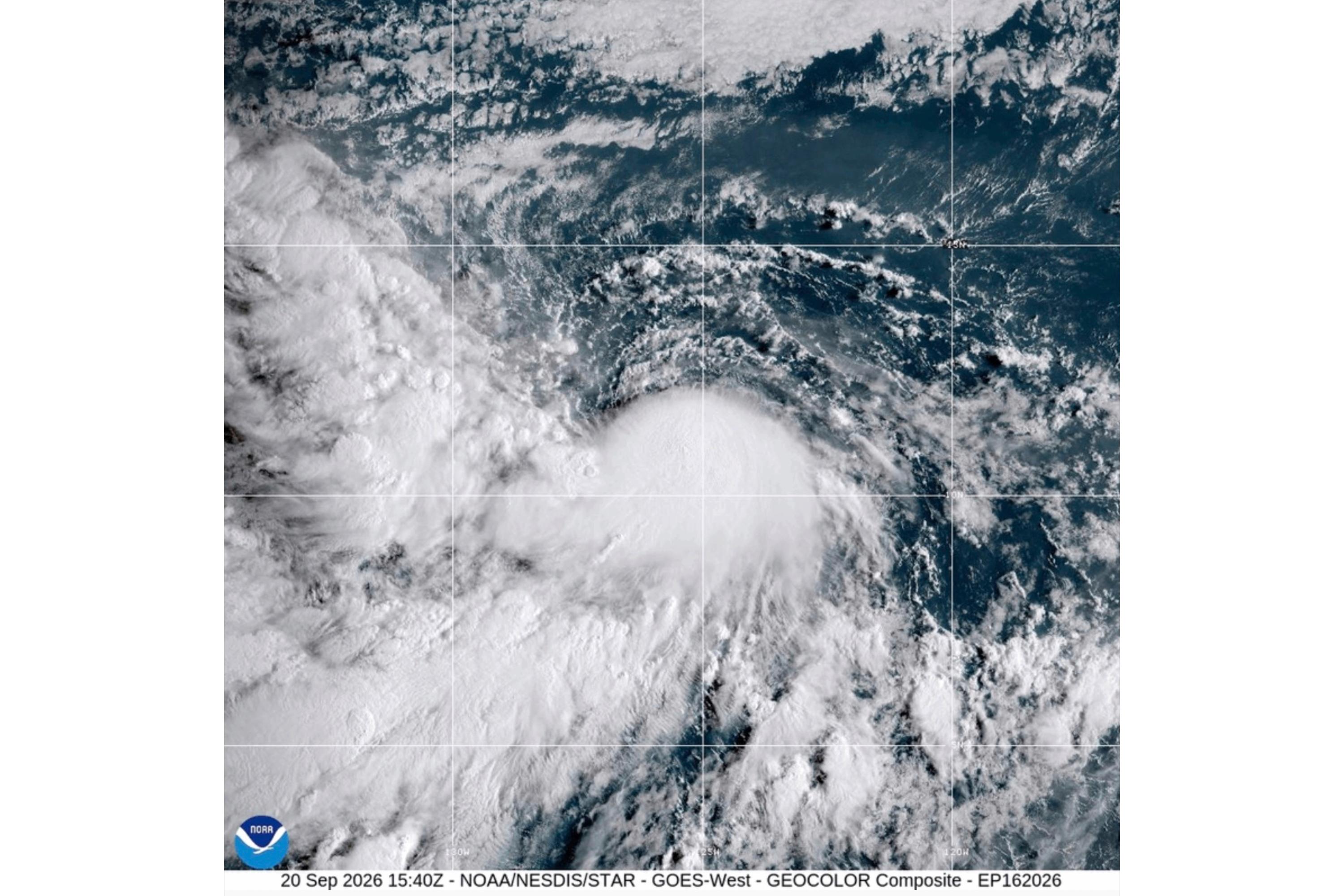
MIAMI (AP) — Tropical Storm Polo formed late Sunday off southwestern Mexico.
Polo had maximum sustained winds near 40 mph (65 kph) and was forecast to strengthen rapidly over the next few days, the U.S. National Hurricane Center in Miami said.
Get The Latest News!
Don't miss our top stories and need-to-know news everyday in your inbox.
Polo was expected to become a major hurricane by midweek.
Polo was moving toward the east-northeast near 5 mph (7 kph). A turn toward the east was expected Tuesday and a sharp turn toward the north and northwest on Wednesday.
Heavy rain was forecast for the Mexican states of Michoacán, Colima and Jalisco through Thursday.
Polo was centered about 270 miles (435 kilometers) south of Manzanillo, Mexico, and 270 miles (435 kilometers) southwest of Zihuatanejo, Mexico.
A tropical storm also formed Sunday in the northern Atlantic Ocean, and another in the Pacific, but both were far from land.
Tropical Storm Fay had maximum sustained winds of 70 mph (110 kph) and was centered about 385 miles (620 kilometers) southwest of the Azores. It was near hurricane strength but was forecast to weaken.
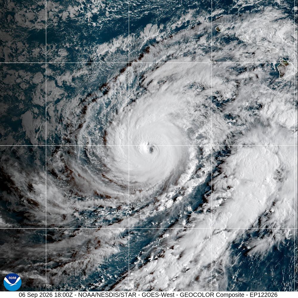
Tropical Storm Odalys was far southwest of Mexico, about 1,350 miles (2,170 kilometers) west-southwest of the southern tip of Baja California.
It had maximum sustained winds of 50 mph (85 kph) and was expected to strengthen into a hurricane in the next day or so.