

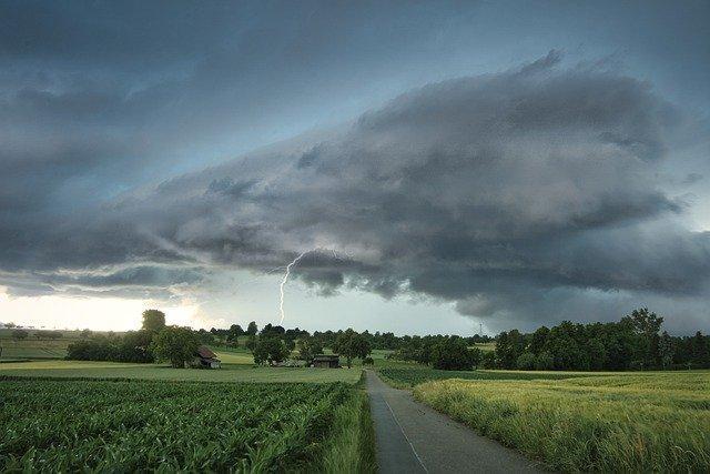
 ALTON - Wind gusts of up to 50 mph are predicted for Wednesday with a strong area of low pressure descending around the St. Louis region, especially south and east, Hyperlocal Extreme Weather forecasters said today.
"As has been in our forecast for a while now, we have a strong storm system on the way," Hyperlocal Extreme Weather added. "The forecast remains unchanged with a strong area of low pressure set to bring us to wind gusts up to 50 mph tomorrow, so batten down the hatches.
"As for severe thunderstorm potential, this aspect remains on the lower end of the spectrum with wind and small hail being the primary threat-focused near St. Louis and especially South and East. Thankfully - the tornado threat will be very low for the St. Louis area."
Hyperlocal Extreme Weather said torrential rain will also occur and will likely come down so hard at times it could be blinding when trying to drive in it. Most folks within our viewing region will see near 1/2” with a 1 to 2” total rainfall accumulation stripe right up the I-44 corridor likely.
"Due to a quicker onset of clouds out ahead of the front, temperatures will get a slight bump downward today in the mid to upper 60s although still a pretty nice above normal spring day if you can deal with the wind outside today gusting up to 30 mph.
This then sets the stage as the warm front approaches which then rockets our temperatures into the upper-60s to near 70 degrees on Wednesday before the cold front crashes through making for a chilly day in the 40s on Thursday."
The weather forecasters said the timing for the heavy winds and thunderstorms across St. Louis should occur between 10 a.m. to 2 p.m. from West to East.
Get The Latest News!
Don't miss our top stories and need-to-know news everyday in your inbox.
"Some lighter scattered rain and storms with steady winds will persist before and after the big rain and wind event," the forecasters said.

