ST. LOUIS - Winter has definitely hit the region with a strong force.
Get The Latest News!
Don't miss our top stories and need-to-know news everyday in your inbox.
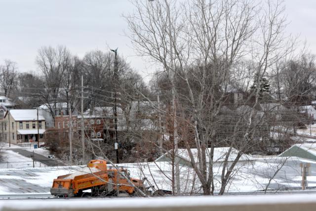
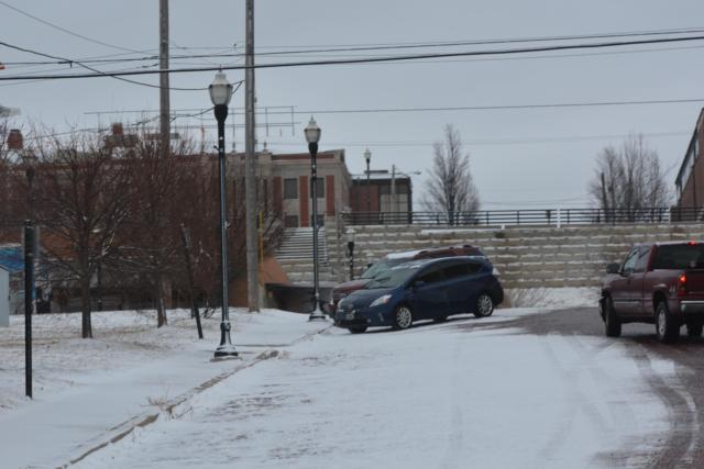
The morning commute for many was difficult after total snow accumulations were between 1 to 2 inches through most of the area. The morning commute was impacted by the slipper/snow-covered roads.
Road crews were out throughout the region salting prior to and during the commute.
Things don’t get any better Monday night. Bitter cold temperatures ranging from 5 below zero to 5 above will product a dangerous wind chill of minus 15 to minus 25 degrees below zero tonight, the National Weather Service in St. Louis said. Northwest winds will be at 10 to 15 mph this evening.
A Wind Chill Advisory has been issued for the entire area, the National Weather Service in St. Louis said. The Wind Chill Advisory is in effect from 6 tonight through noon Tuesday.