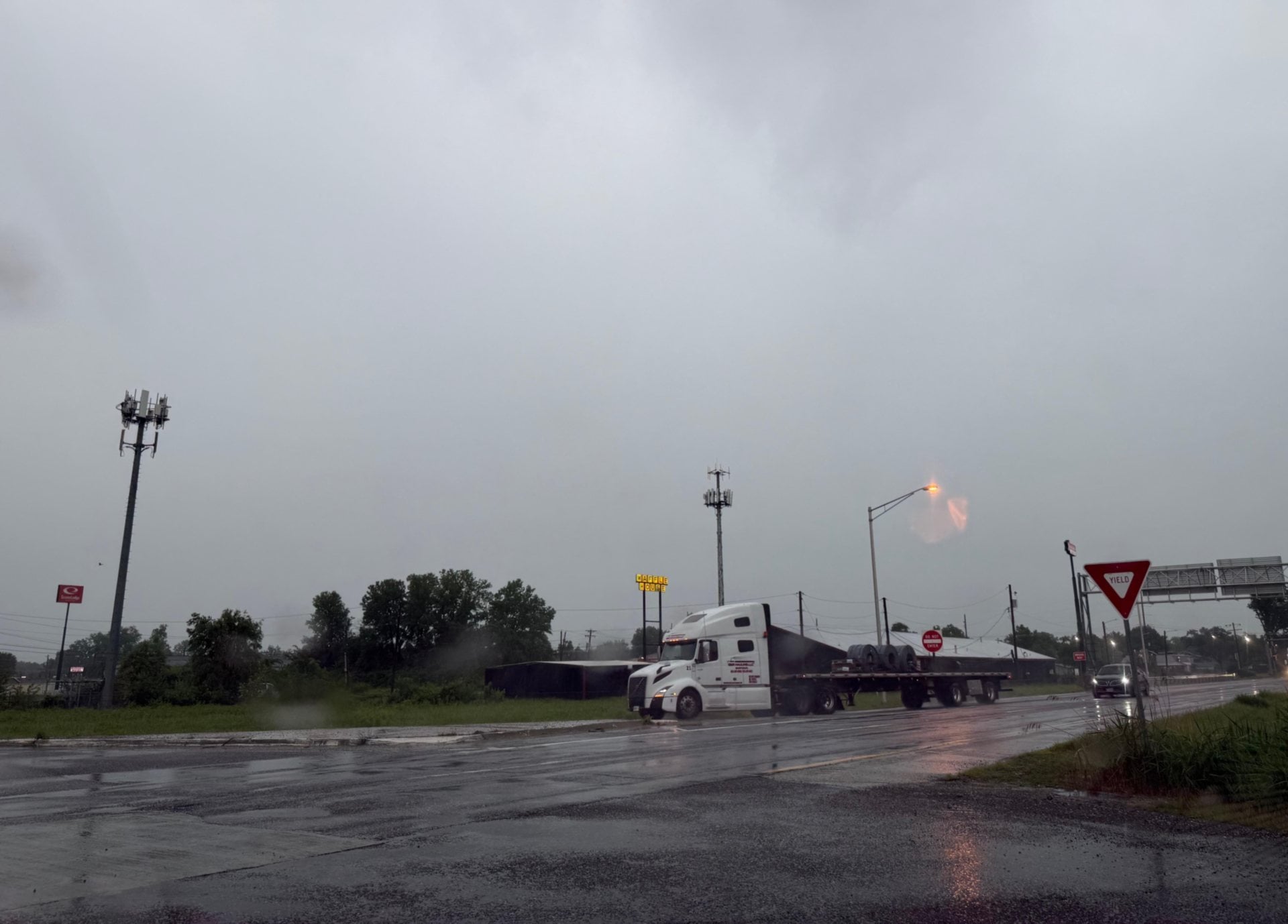
ST. LOUIS - A hazardous weather outlook for portions of west central and southwest Illinois and central Missouri is set for today.
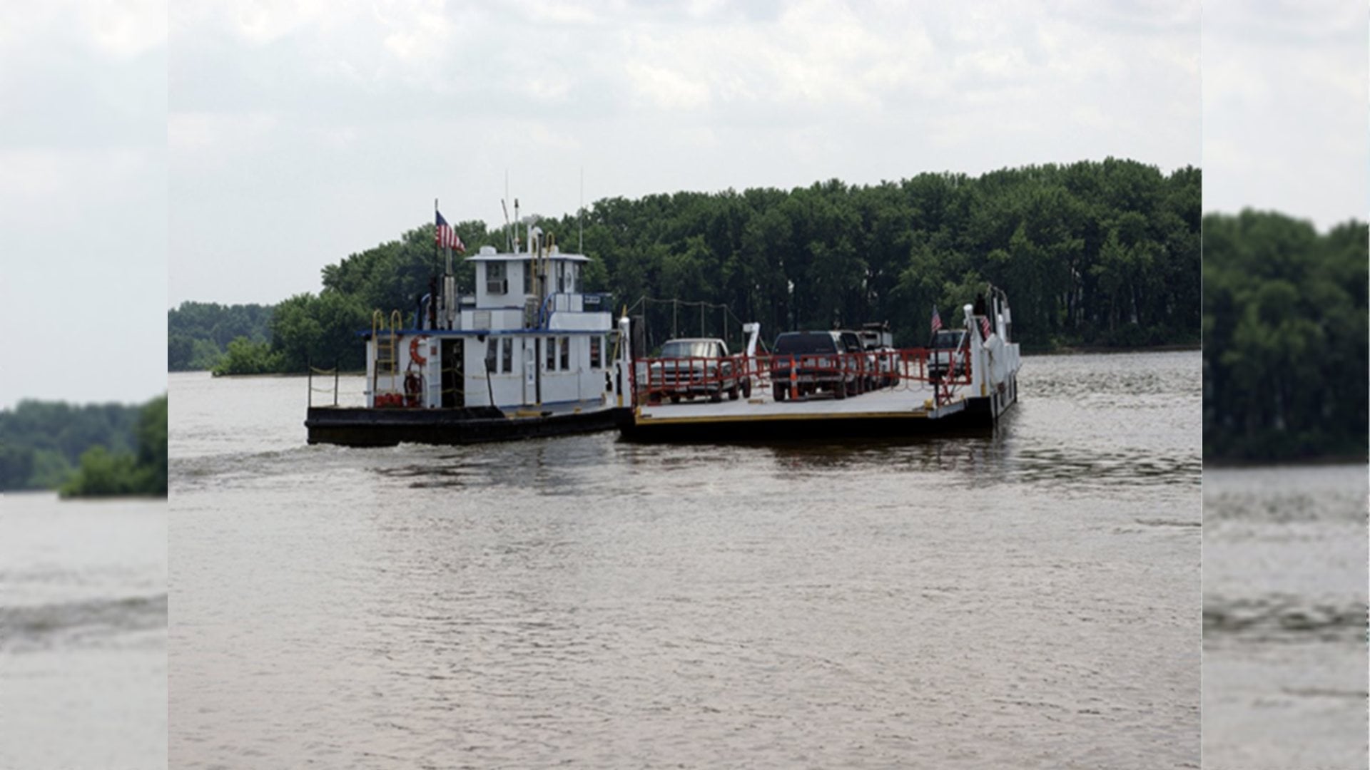
The National Weather Service in St. Louis also issued a flood warning for the Mississippi River at the Melvin Price Lock and Dame from Friday, April 7, to Wednesday April 12.
Get The Latest News!
Don't miss our top stories and need-to-know news everyday in your inbox.
The National Weather Service in St. Louis predicts isolated severe thunderstorms are possible today across southwest Illinois. The primary threats will be damaging winds and large hail.
Spotter activation may be needed today, the National Weather Service said. “Spotters are encouraged to report any severe weather, if observed, to the National Weather Service.”
The National Weather Service in St. Louis also issued a flood warning for the Mississippi River at the Melvin Price Lock and Dame from Friday, April 7, to Wednesday April 12.
At 11 a.m. Wednesday, April 5, the river stage at the dam was 16.5 feet and flood stage is 21.0 feet. The Weather Service said the river will rise above flood stage by Friday evening and crest near 23.0 feet by Tuesday afternoon.
Minor flooding begins to occur at this level. Unprotected farm land nearby begins to flood. Near this height, the Mel Price Lock and Dam will go to “open river” conditions, lifting all gates out of the river.