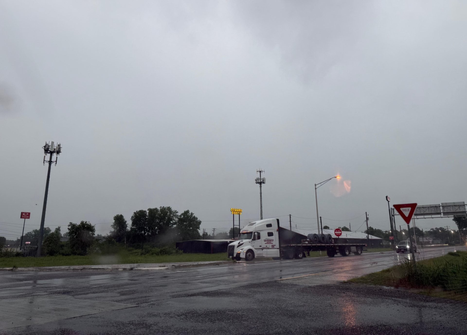
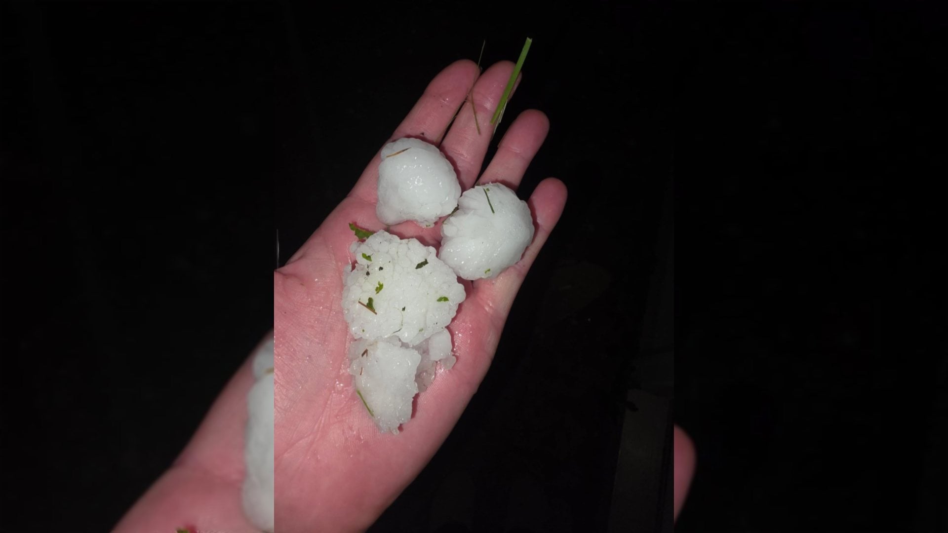
ST. LOUIS - The National Weather Service and area law enforcement are encouraging motorists to be alert for rapidly changing conditions through the day and night.
Get The Latest News!
Don't miss our top stories and need-to-know news everyday in your inbox.
A strong cold front continues to advance across Northwest Missouri and will quickly advance to the east and south today. Temperatures in the 50s and 60s will quickly drop behind the front into the lower 30s. Rain in advance of the front will change to freezing rain, sleet and some snow, the National Weather Service in St. Louis said.
"As colder air moves in, motorists should be alert for rapidly changing conditions today and tonight as roads may quickly become slick due to the colder air," the Weather Service said.
The Illinois State Police District 11 in Collinsville said: "Please prepare, and drive with extreme caution," about the upcoming weather change."