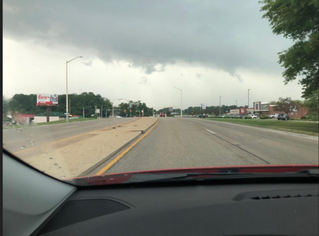
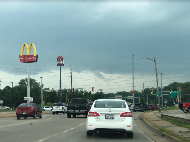
 GODFREY - Godfrey and Carrollton were both hit with a strong thunderstorm surge after 3 p.m. on Tuesday and more for the region is likely to come this evening.
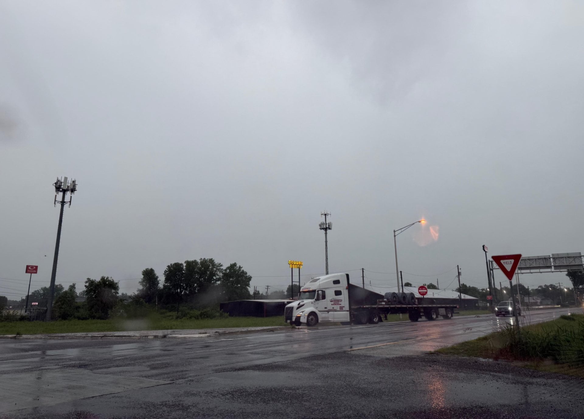
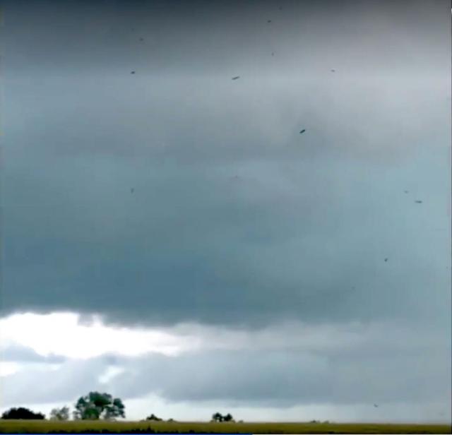
The above photo, submitted by Craig Wilfong, depicts low clouds and heavy debris flowing. Wilfong told Riverbender.com reporter Chris Rhodes he thought he might have captured a tornado on video. The National Weather Service in St. Louis could not confirm any tornadoes in the area as of about 4:15 p.m. Tuesday. But there was a funnel cloud apparently spotted at Illinois Route 109 and McCluskey.
Get The Latest News!
Don't miss our top stories and need-to-know news everyday in your inbox.
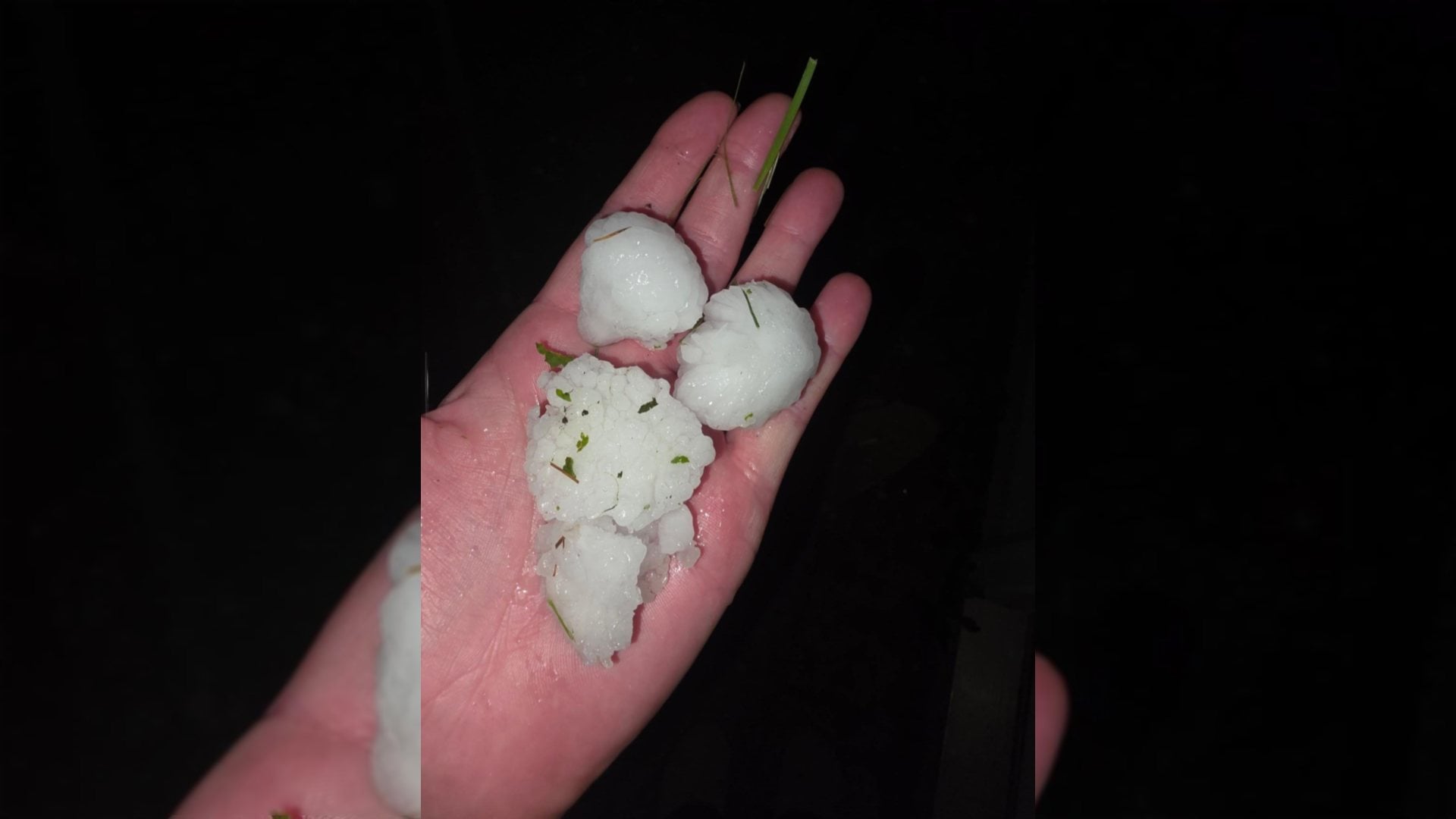
Parts of Godfrey were hit with strong hail Tuesday afternoon. St. Louis Weather Service Meteorologist Melissa Byrd said showers and thunderstorms could be strong to severe Tuesday evening. A weather watcher report from Glen Carbon said there was strong lightning.
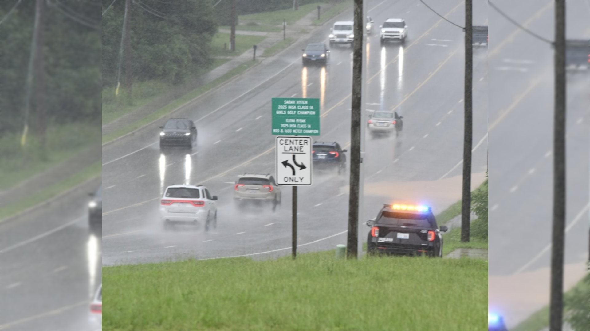
East Alton and Wood River some reported flooding in multiple streets Tuesday afternoon.
“The rain tapers off late tonight with lows in the low to mid-70s,” she said.
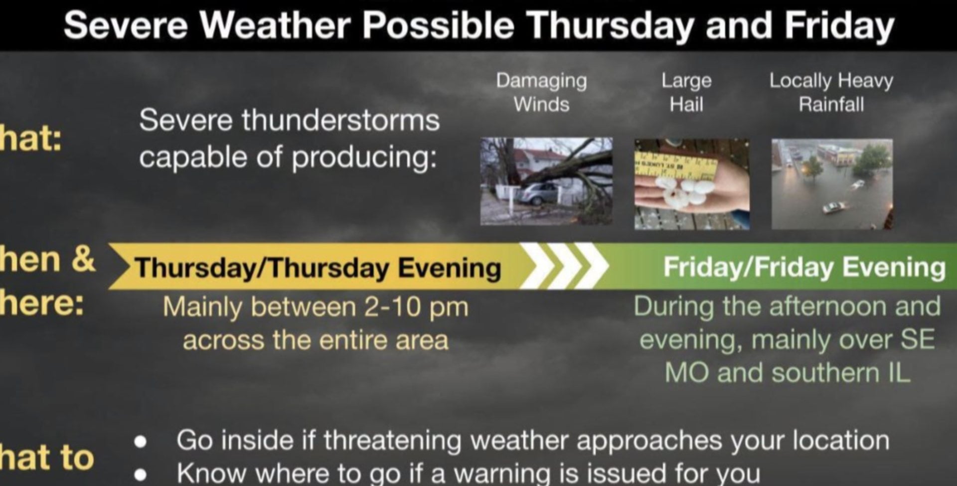
“Severe thunderstorms are tracking through Eastern Missouri and West Central Illinois, and should continue through the afternoon/early evening,” the National Weather Service said. “Hail, damaging wind, and brief heavy downpours are possible in these storms. Stay alert of changing conditions, and remember that lightning can strike far from a storm. When thunder roars, go indoors!”
 Dan Brannan also contributed to this story.