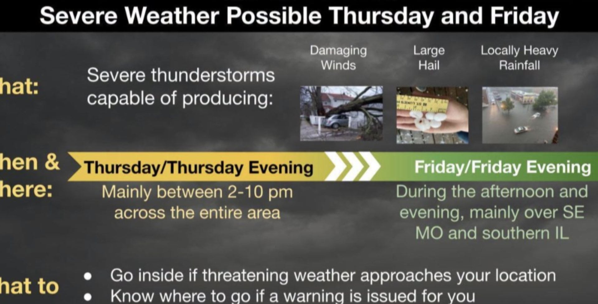

ST. LOUIS - A strong cold front is moving through the St. Louis area Saturday evening, bringing with it the potential of severe weather. Meteorologists at the National Weather Service (NWS) in St. Louis said an area including then Riverbend has an enhanced risk for severe weather Saturday as storms are predicted to come.
Get The Latest News!
Don't miss our top stories and need-to-know news everyday in your inbox.
Many people hearing of thunderstorms in Alton, Grafton, Nutwood, Hardin, Kampsville, or any of the other municipalities affected by recent historic flooding may worry about rain with any weather event.
However, meteorologists said the system is moving too fast to cause additional troubles for the already-swollen rivers in the area.
More storms are expected by Tuesday.
NWS Hydrologist Mark Fuchs said in previous interviews with reporters that was a system to watch in regards to flood crest numbers.Chris Rhodes also contributed to this story.