


Get The Latest News!
Don't miss our top stories and need-to-know news everyday in your inbox.
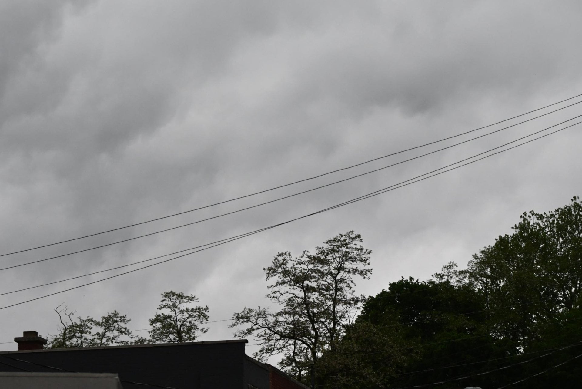
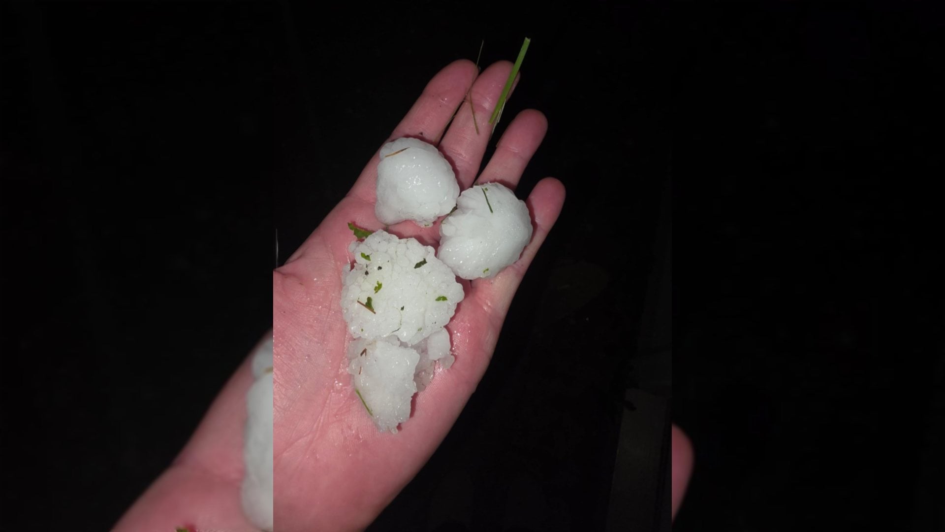
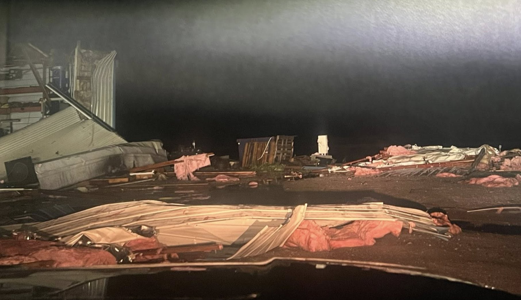
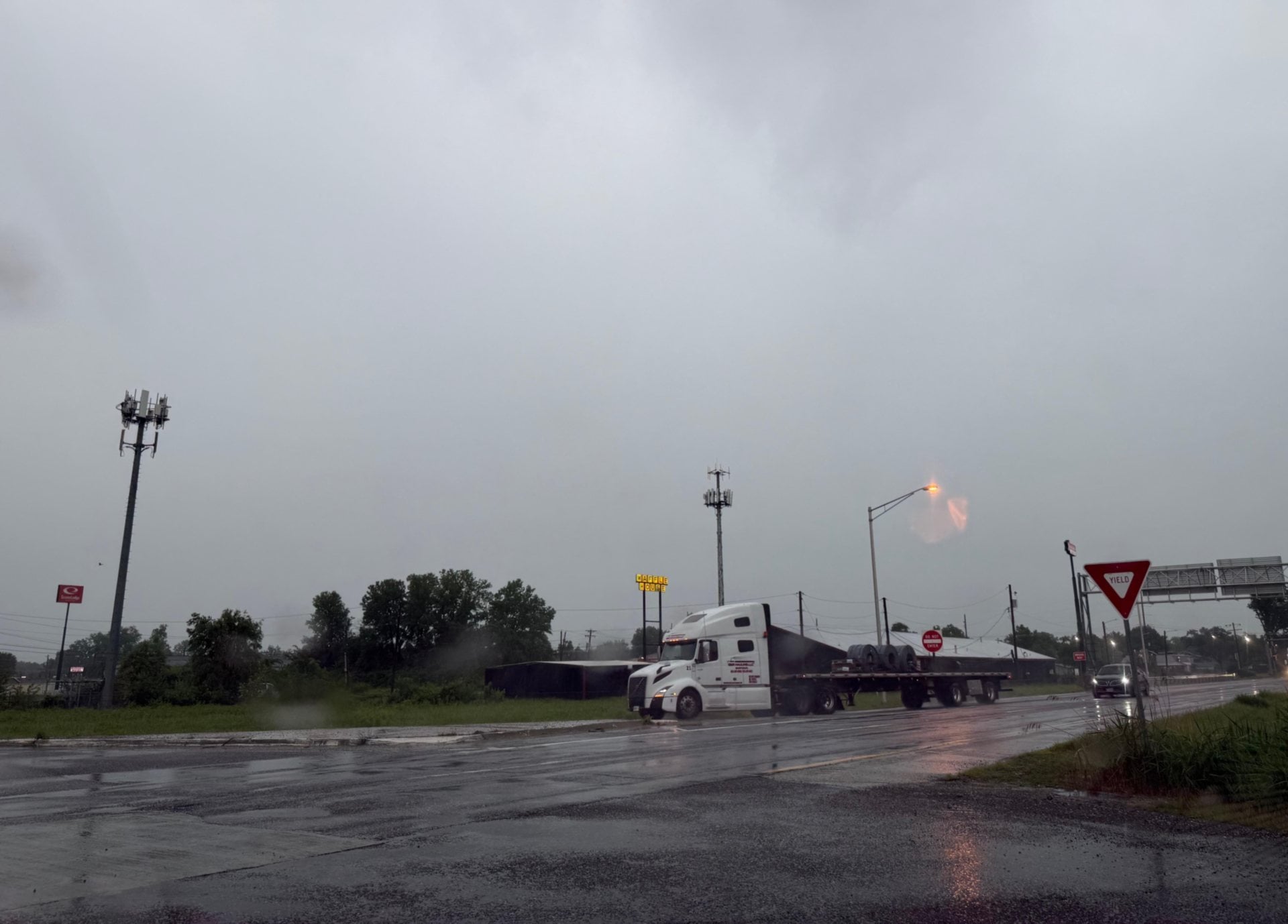
JERSEYVILLE - Another round of severe thunderstorms blew through the area last night, causing lots of wind-related damage in their wake. Meteorologists from the National Weather Service (NWS) in St. Louis said they are going to send survey teams to the areas affected in the next several days to evaluate the scope of the damage.
At this time, however, they believe strong wind bursts swept across parts of Northern Calhoun County, where fallen trees blocked the roadway, as well as Jersey County, which also has debris as well as reports of power outages. A call to Ameren Illinois regarding the scope of those outages has not been returned at this time.
Unfortunately, though, there are more storms predicted in the current forecast. Thursday sees a "marginal risk" for severe weather, meaning conditions are possible, but not favorable, for severe weather to occur. More storms are expected to come in the early parts of the Memorial Day Weekend holiday as well as early next week. More information regarding damage in Jersey and Calhoun would be more readily available, but meteorologists are currently surveying damage done by a confirmed tornado in Jefferson City, Missouri. With these storms comes an increased flood forecast as well.
The NWS only predicts flood forecasts using the next 24 hours of predicted precipitation - as thunderstorms are hard to pinpoint with both location and precipitation. Given that current information, much of the Riverbend will experience yet another historic crest this season.
Alton is expected to reach 35.3 feet by Monday, Grafton is expected to crest at 31.1 and Hardin is looking at 36.5. These amounts are calculated using only data available for the next 24 hours, and the potential for more severe weather extends through early next week at least.


 Mike Hall also contributed to this story.