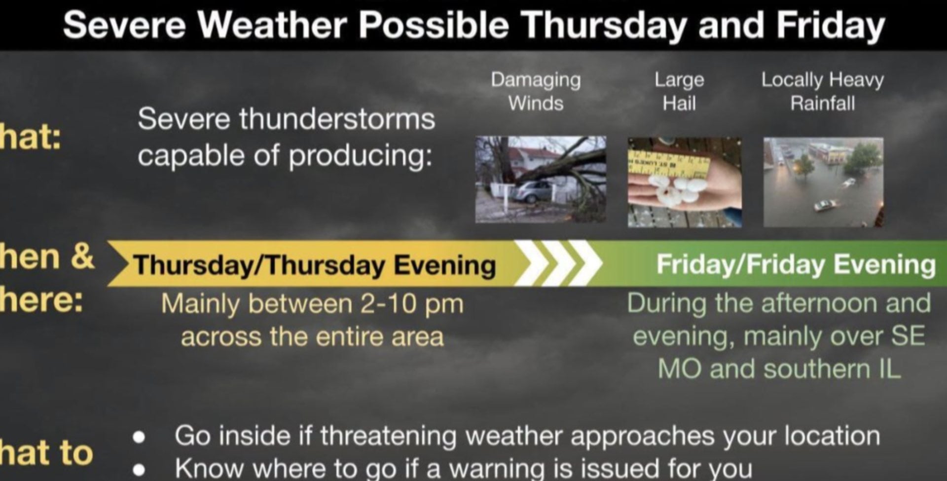
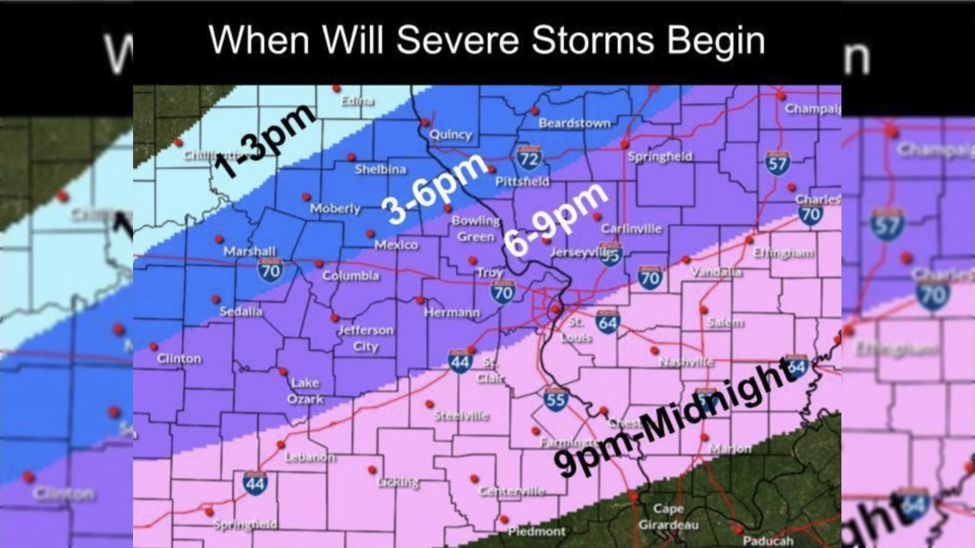
ST. LOUIS - The National Weather Service in St. Louis issued a tornado warning just after 1 p.m. Monday for Bond, Madison, Macoupin, and Montgomery counties. At around 1:20 p.m., NWS Meteorologist Marshall Prahler said the storm had moved to the north of Marine quickly, but so far no tornado has been reported.
“We saw rotation in the storm and thought the potential was high enough to issue a tornado warning,” he said. “It looks like as we go over the next hour or two the best chance of severe thunderstorms will shift to the northeast.
Get The Latest News!
Don't miss our top stories and need-to-know news everyday in your inbox.
“We could have some isolated showers and thunderstorms the remainder of the afternoon. The threat of severe weather should decrease through the rest of the afternoon for the area.”
Around 1:20 p.m. Monday, Prahler said the severe storm was northeast of Marine and close to Alhambra and heading northeast.
A high o 74 degrees is predicted today with a low of 54 degrees. Tuesday should be sunny for the St. Louis area with a slight chance of thunderstorms with a high of 79 degrees.