ST. LOUIS - The National Weather Service has issued a Flash Flood Watch in effect from 4:34 a.m. CDT on April 28, 2017, through 1 AM CDT on May 01, 2017.
The Flash Flood Watch remains in effect from this evening through late Sunday night.
The Flash Flood Watch continues for portions of Illinois and Missouri, including the following counties: Madison, Greene, Calhoun, Jersey, Macoupin and Pike.
Recent rainfall has set the stage for a significant flooding event this weekend, the National Weather Service said. A slow moving and potent storm system will interact with a very moist air mass to produce heavy rainfall over the weekend. Rainfall totals of 3 to 5 inches are likely with locally higher amounts possible across southeastern Missouri and southern Illinois.
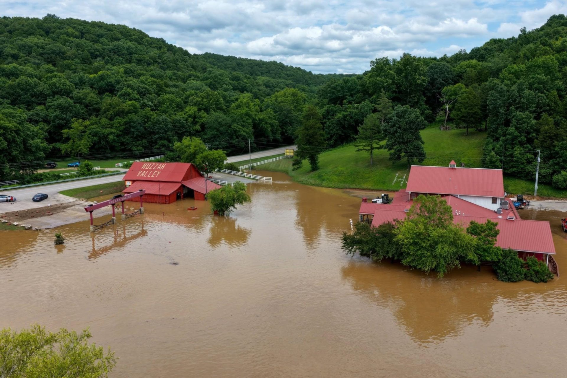
Heavy rainfall will result in flooding of low lying or poor drainage areas...and ultimately dangerous flash flooding on smaller creeks and streams. Moderate to major flooding is also possible on larger streams and rivers.
Precautionary/preparedness actions
A Flash Flood Watch is advanced notice that conditions are favorable that may lead to flash flooding. People in the watch area, especially in flood prone areas, should use this time to make preparations just in case. The National Weather Service encourages residents to stay informed, and be ready for quick action if flooding is observed or if a Flash Flood Warning is issued.
Get The Latest News!
Don't miss our top stories and need-to-know news everyday in your inbox.