 The region is being hit this morning with strong snow with some accumulation as of 7 a.m. Wednesday, but overall, weather forecasters say the area has been fortunate for a later snow shower arrival.
Get The Latest News!
Don't miss our top stories and need-to-know news everyday in your inbox.
Temperatures remained higher than originally expected and the rain-to-snow transition was slower than expected, Marshall Pfahler, a National Weather Service in St. Louis meteorologist, said this morning.
The NWS in St. Louis reported at 6 a.m. that the area is seeing the heaviest snow of the event.
“This is causing the snow to accumulate quickly, even on treated surfaces,” the NWS said. “Please drive carefully if you have to travel.”
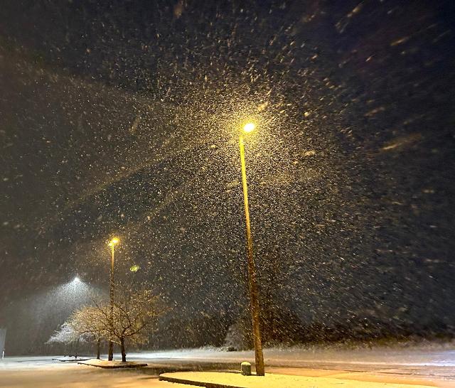
Chad Scott with Hyper-Local Extreme Weather’s prediction of “a bright, fluffy snow” came true, just a little less than expected because of the slow rain-to-snow transition.
Pfahler said temperatures are largely above freezing around the region and should continue to rise this morning as the main part of the snow ends which should help with snow removal.