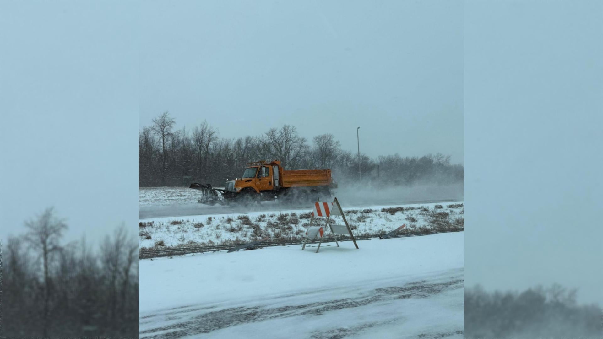
The Winter Storm Warning has been extended to 6 p.m. on Thursday. Illinois Department of Transportation and other crews are out in force on both state and county highways and city streets.
Get The Latest News!
Don't miss our top stories and need-to-know news everyday in your inbox.
Illinois Department of Transportation Operations Manager for this region Joe Monroe, of Godfrey, said most state highways are covered and snow is still coming down, at 11:10 a.m. on Thursday.
Monroe was busy out on area highways monitoring the storm and conditions when interviewed.
“We also have high winds blowing,” he said. “The I-255 loop is better than the outside I-255/I-270 loop because it has a little more protection and is a less exposed area for the blowing snow. The north and south routes aren’t receiving as much snow blowing as the east to west. We are reporting Codes 5 and Codes 6 in our region because the vast majority of our pavement is covered.”
Monroe said how quickly the area can be cleared depends on the continuation of the snow and high winds.
“It is in the mid-teens right now and expected to drop,” he said. “Our chemicals won’t be overly effective until the wind and snow stop because of the temperatures.”
Monroe urges motorists to show great care on the highways and streets and stay in if possible, while they continue to work on clearing the snow.
 This is today’s forecast:
WHAT: Heavy snow. Additional snow accumulations between 1 and 3
inches. Winds gusting as high as 35 mph.
WHERE: Portions of south-central and southwest Illinois. Portions
of central and east-central Missouri.
WHEN: Until 6 P.M. CST this evening.
IMPACTS: The strong winds and weight of snow on tree limbs may
down power lines and could cause sporadic power outages. Plan on
slippery road conditions. The hazardous conditions could impact
the Thursday evening commute.