Get The Latest News!
Don't miss our top stories and need-to-know news everyday in your inbox.


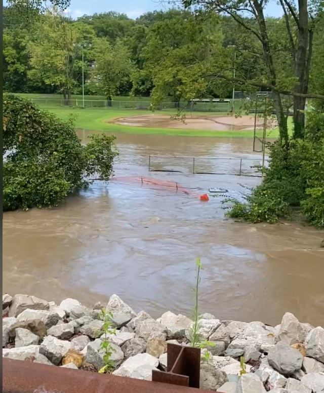
ST. LOUIS - The National Weather Service late Sunday released some inch counts from the torrential rains that hit parts of the region earlier in the morning. In Chesterfield, Mo., there was a weather spotter report of 7 inches of rain from Saturday night to Sunday. In Maryville, there was a report of 5.7 inches of rain during that period.
The NWS said a portion of the Metro East could have received up to 7 inches of rain during the Saturday night to Sunday period and several had 5-6 inches of rain. Pontoon Beach had a recording of 4.35 inches. In Ferguson, Mo., there was a report of 6.25 inches.
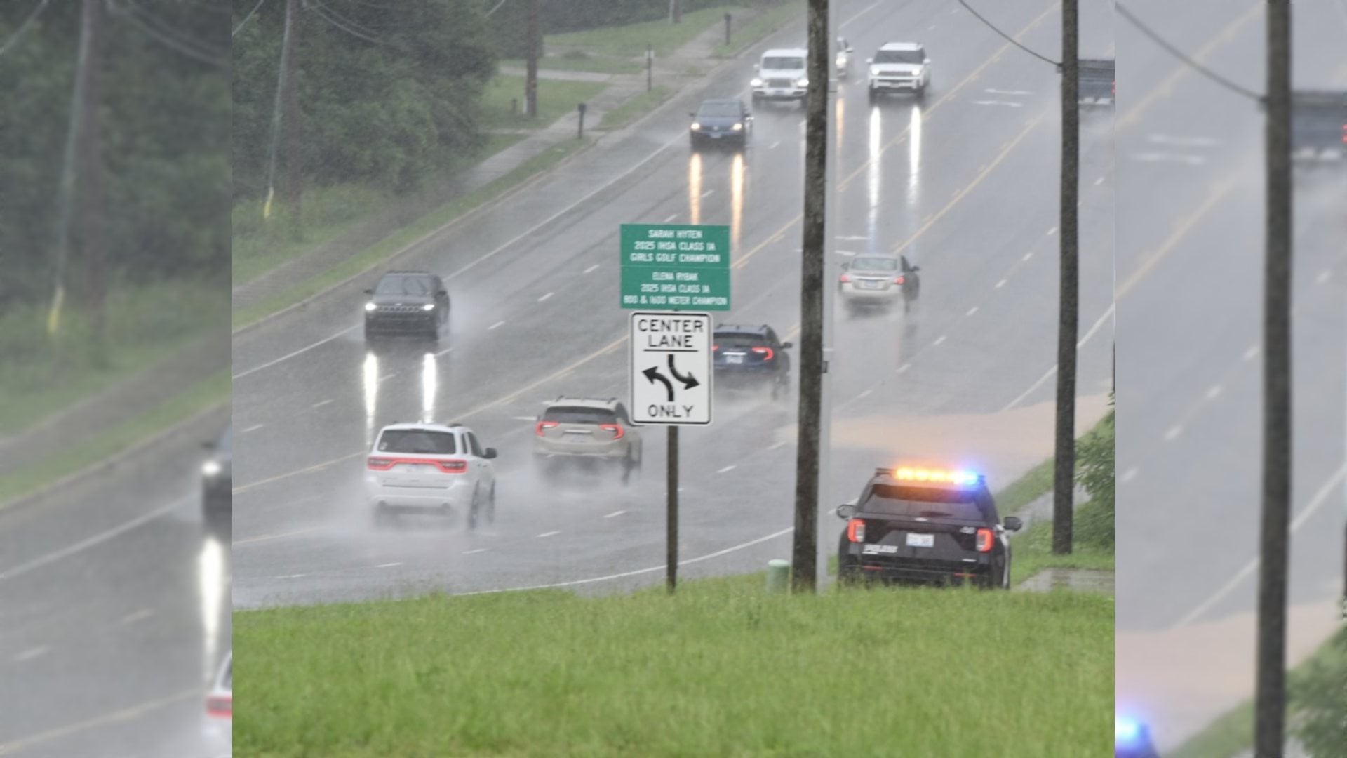
The intense rainfall in such a short period of time left road flooding in Glen Carbon, Maryville and other areas. First responders had to rescue seven people stranded in vehicles in standing water at Illinois Route 162 and 157 in Glen Carbon.
"There was a ton of moisture in the air," NWS in St. Louis said. "There was also a mid-level disturbance that kept the storms going."
There was a lightning strike to a house in Edwardsville and it sparked a fire.