

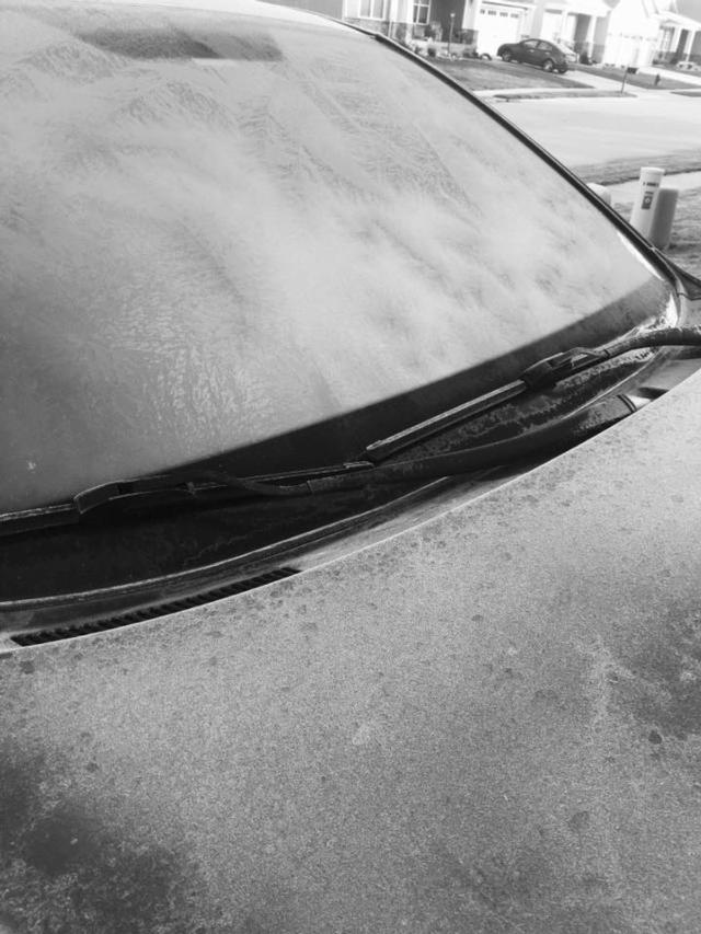
EDWARDSVILLE/ALTON - Metro East area residents were greeted with the first frost of the season Sunday morning as temperatures dipped close to the 30-degree mark overnight.
Get The Latest News!
Don't miss our top stories and need-to-know news everyday in your inbox.
The good news is temperatures should rise today and be mostly cloudy with a high in the mid 50s Sunday.
This is the extended forecast for the week from the National Weather Service in St. Louis:
Tonight
Mostly cloudy early in the evening then becoming partly cloudy. Low around 40. South wind around 10 mph in the evening shifting to the west after midnight.
Monday
Mostly cloudy in the morning and early afternoon then becoming partly sunny. A 20 percent chance of showers. High in the mid 50s. Northwest wind around 10 mph.
Monday Night
Partly cloudy. Low in the lower 30s. Northwest wind around 10 mph in the evening becoming light after midnight.
Tuesday
Mostly sunny. High around 50. Northwest wind around 10 mph in the morning becoming light in the afternoon.
Tuesday Night
Mostly cloudy. A 40 percent chance of rain showers after midnight. Low in the upper 30s.
Wednesday
Mostly cloudy with a 40 percent chance of rain showers. High in the mid 50s.
Wednesday Night
Mostly cloudy with a 20 percent chance of showers. Low around 50. Temperature rising into the 50s by midnight, then near steady overnight.
Thursday And Thursday Night
Warmer. Partly cloudy. High around 70. Low around 50.
Friday
Partly sunny with a 20 percent chance of showers. High in the mid 60s.
Friday Night
Partly cloudy with a 30 percent chance of showers. Low around 50.
Saturday
Partly sunny with a 20 percent chance of showers. High in the upper 60s.

