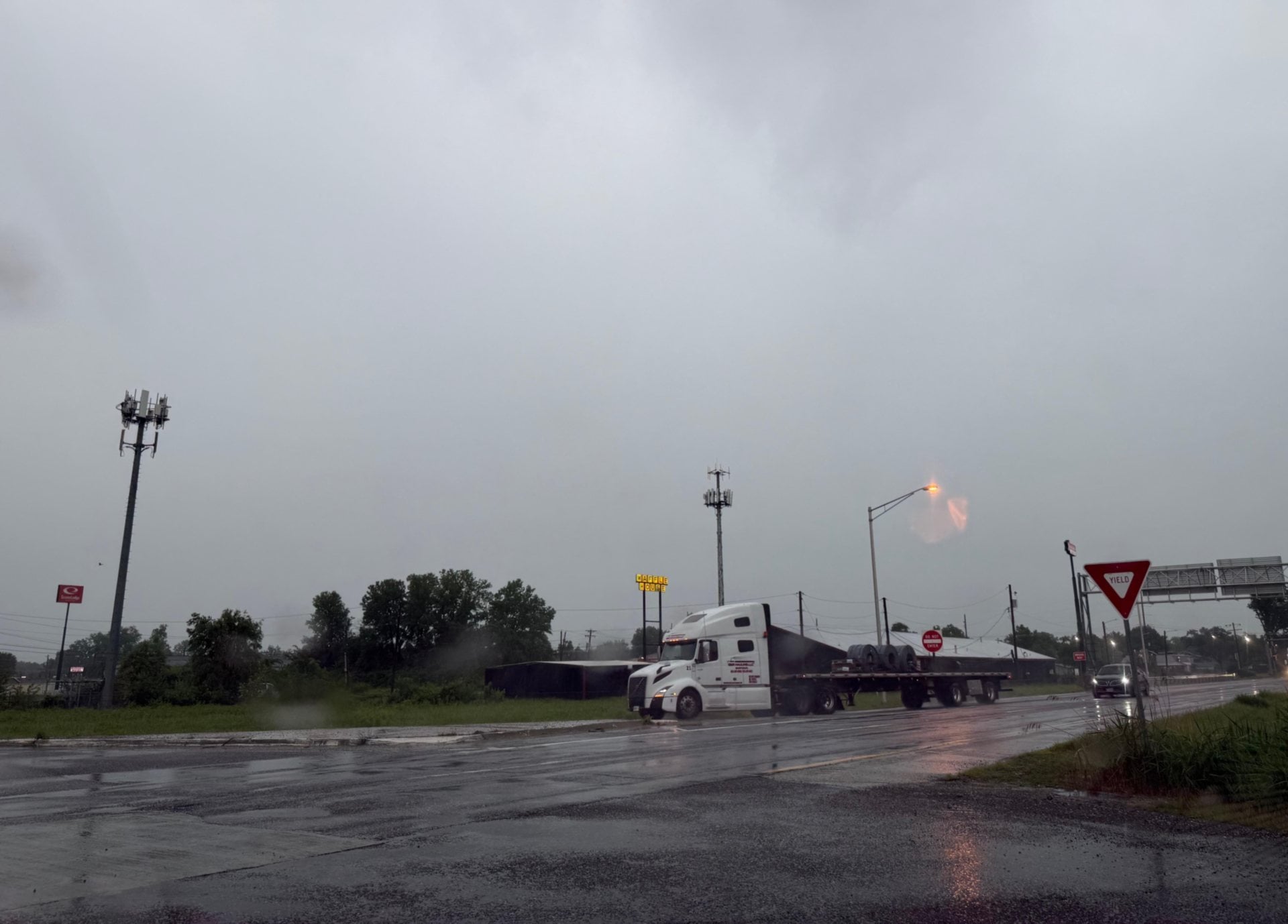

ALTON - Between periods of severe thunderstorms, non-stop and heavy precipitation and constantly fluctuating temperatures, the past few days have wreaked havoc on the River Bend.
Get The Latest News!
Don't miss our top stories and need-to-know news everyday in your inbox.
As rainfall totals creep up to the area’s historic highs, several municipalities have been forced to take some measures to ensure their residents’ safety as flood waters accumulate in fields, creeks and streams.
Alton Police Department reached out to its over 10,000 followers on Facebook this Saturday evening to spread the word about how dangerous this flooding and heavy rainfall may be.
“If the rain continues as is forecasted, please give yourself extra time to travel places,” the police department’s post said. “It takes longer to stop on wet pavement and hydroplaning is a real threat with standing water. We want all of our citizens to arrive safely at their destinations, so please do your part to keep yourself safe on the road.”

 A small mudslide also occurred Saturday evening on Alby Street near the Alby Quarry.
Around noon on Sunday, the Mayor of West Alton and the Rivers Pointe Fire Protection District’s Fire Chief had announced on their social media account alerting residents that the entirety of West Alton’s city limits are under an immediate evacuation order. In the post, the district notes that the flood level predictions are at approximately 38.9 feet, which is 4 feet and 9 inches above the levee’s protection limits.
The Wood River Drainage and Levee District announced Sunday that they have closed the floodgates located on Powder Mill Road in East Alton due to the rising waters of Wood River Creek. Travellers are encouraged to seek alternate routes into that part of the city and should add extra time to their commutes.
Bethalto city workers have also placed road blocks on Culp Lane near Stadium Drive due to flooding from area fields, pouring over the road to Steve Bryant Community Park. Various pumping stations have been placed in the manholes along West Corbin Street in an attempt to deter flooding due to drainage issues around the city from occurring.
If the predicted rainfall calculations are correct, flooding of the Mississippi River are expected to crest at 38.9 feet on upcoming Thursday.
According to the National Weather Service’s Areal Flood Warning, which will last until 3:00 p.m. on Monday, Dec. 28, an additional two to three inches of rainfall should be expected overnight into the morning with localized amounts of over four inches possible.
If you have any flooding photos, please send them to us at news@riverbender.com or share them with us on our Facebook page.