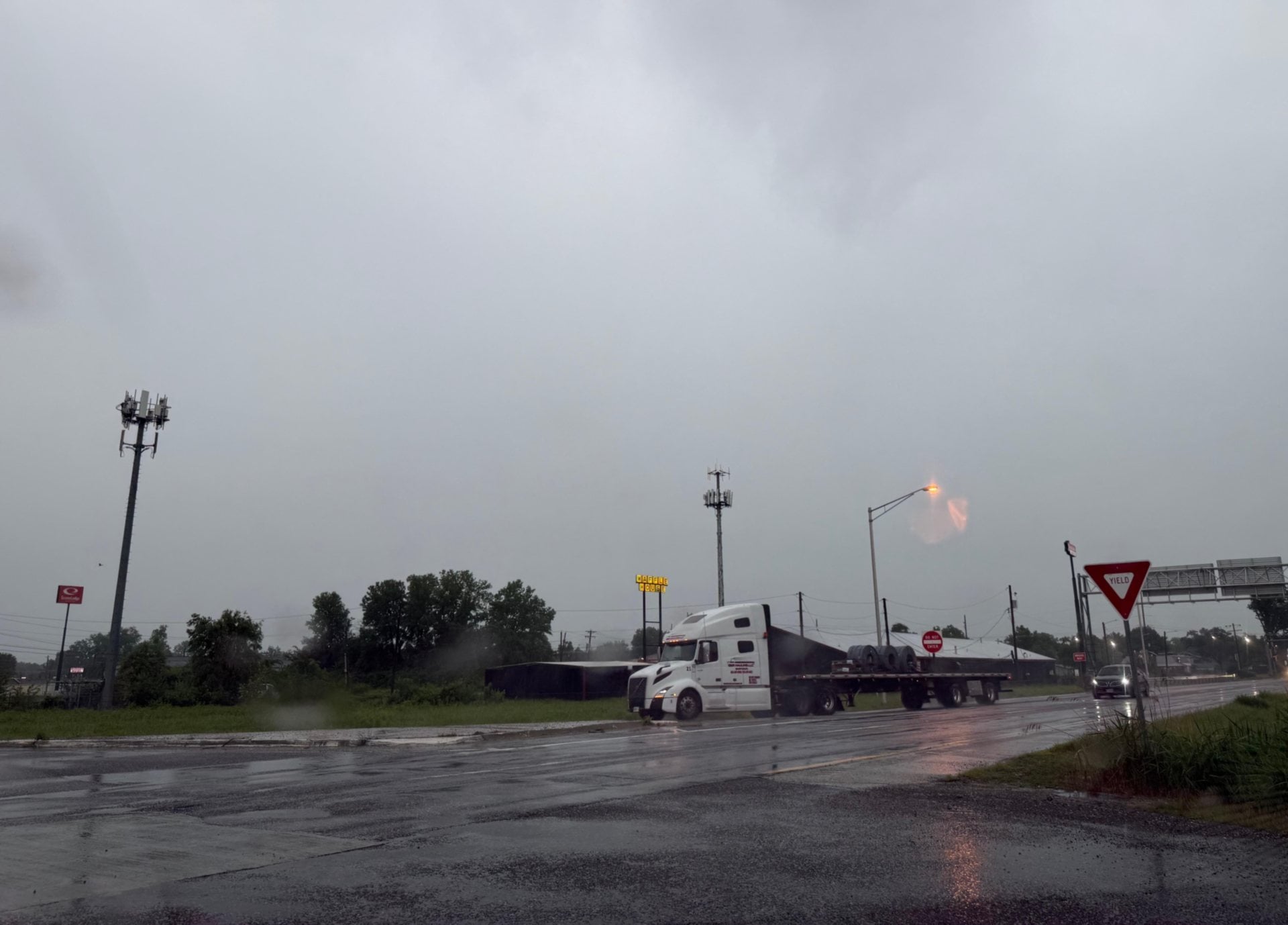
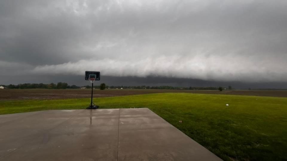
ST. LOUIS/GRANITE CITY - St. Peters, Mo., recorded the highest rain totals Tuesday morning with 12.34 inches, but Granite City recorded 8.5 inches in the morning period.
There was flash flooding on both sides of the river Tuesday.
Get The Latest News!
Don't miss our top stories and need-to-know news everyday in your inbox.
One person died when a car in St. Louis was found covered in more than 8 feet (2.4 meters) of water. Several puppies drowned when a building became flooded at Stray Paws Adoptables, a stray dog rescue operation in St. Peters, Mo., a St. Louis suburb. Firefighters in boats rescued other dogs from the building.
 The National Weather Service in St. Louis reported these were some examples of rainfall totals spread throughout the region:
St. Peters, MO. - 12.34 inches
Flint Hill, MO. - 11 inches
O’Fallon, MO. - 11 inches
St. Anne, MO. - 10.95 inches
Moscow Hills, MO. - 10.44 inches
Caseyville, IL. - 8.5 inches
Granite City, IL. - 8 inches
Fairmont, IL. - 6.25 inches
Belleville, IL. - 6.3 inches
Fairview Heights, IL. - 6.16 inches
Alton, IL. - 5 inches
Troy, IL. - 2.15 inches
Highland, IL. 1.42 inches
Meteorologist Kevin Deitsch said St. Peters, MO., and O'Fallon, Mo., were hit hard by the rainfall on Tuesday, and there was significant flash flooding.
"We had some interstates closed during the storm," he said. "Spencer Creek in Missouri was over its banks. Areas of I-64, I-255, I-55 and I-44 were closed for a period of time because of the heavy storms. We had a stationary weather front that just hung here. These complexes that form from the north, kept generating thunderstorms due west to east and dropped a lot of rain for hours at a time."
Deitsch predicts some additional rainfall on Wednesday and Thursday but said it should not rival the storms today throughout the region. Granite City recorded 8 inches of rain Tuesday morning, the highest on this side of the river other than Caseyville with 8.5 inches.
If you have flash flooding photos in the area, send them here or to news@riverbender.com with a few details.