ST. LOUIS - Edwardsville reported the highest rain tally in the region of 2.84 inches on Tuesday from weather spotters to the National Weather Service in St. Louis.
Get The Latest News!
Don't miss our top stories and need-to-know news everyday in your inbox.
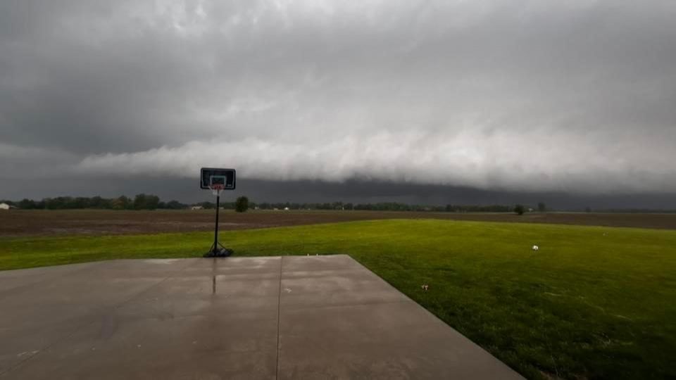
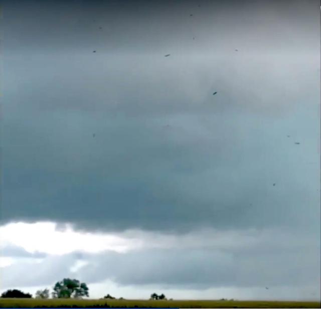
The storms hit the area multiple times, once around 4:30 p.m., then later in the evening.
Lambert Airport reported .43 inches of rain Tuesday, the NWS said. Belleville posted a total of .81 inches and Medora .52 and Highland .43.
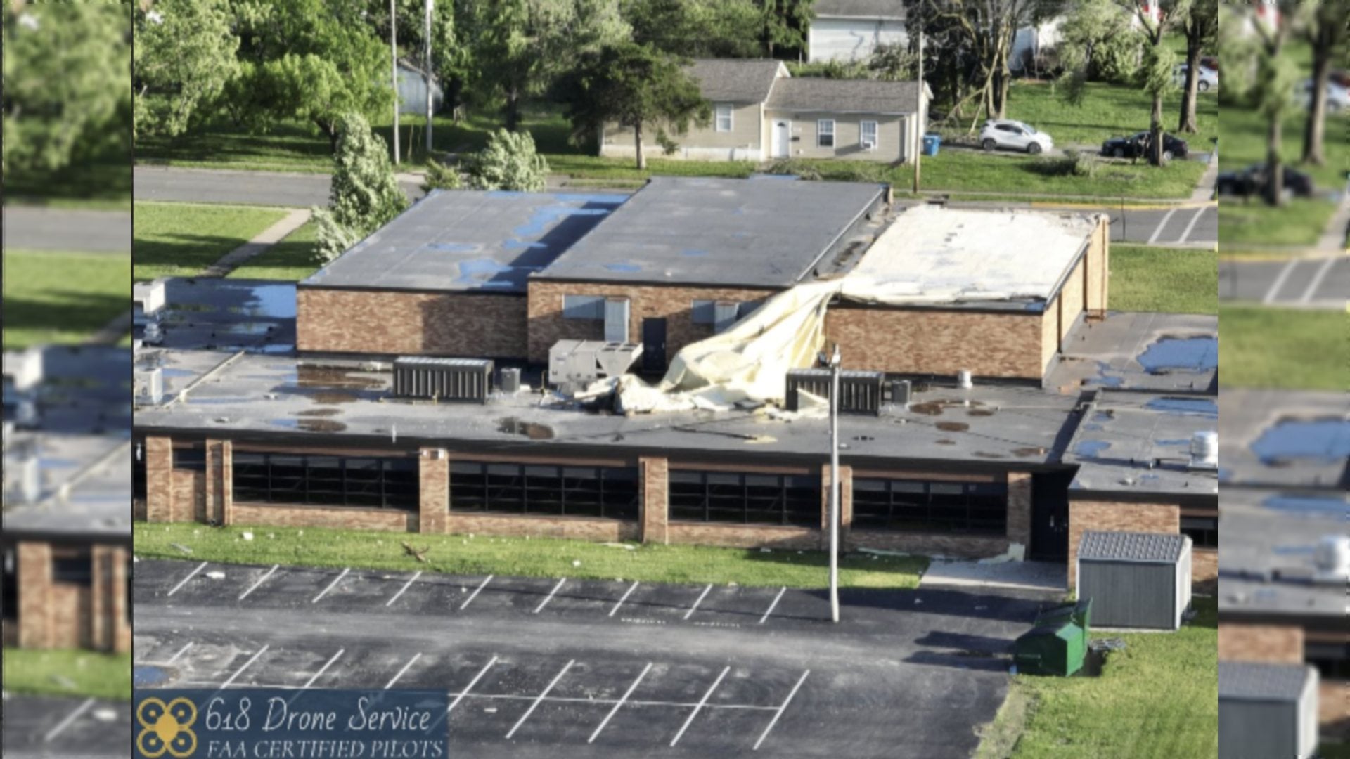
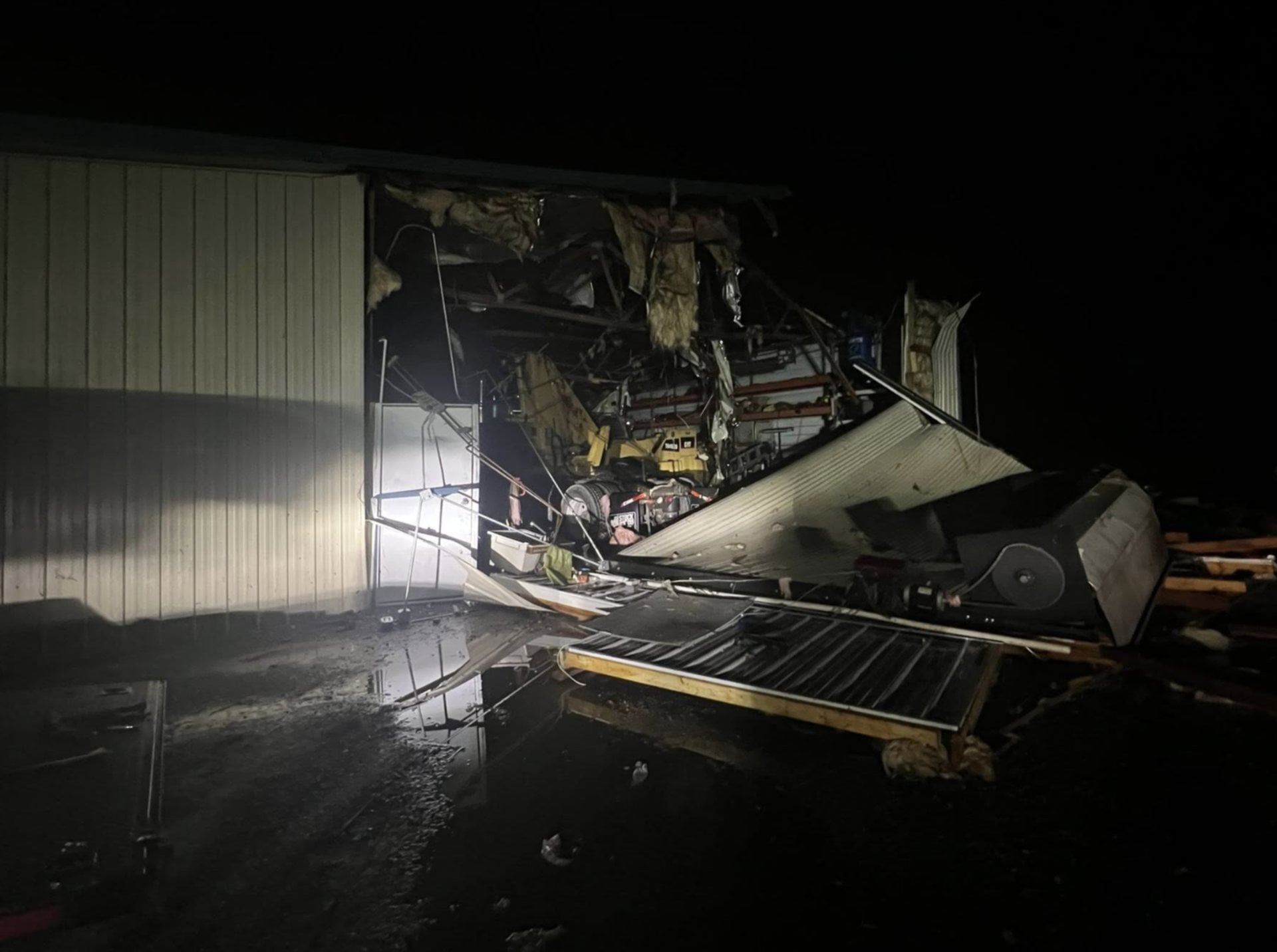
Carrollton reported the most storm damage in the area with several trees down and power outages, the NWS said.

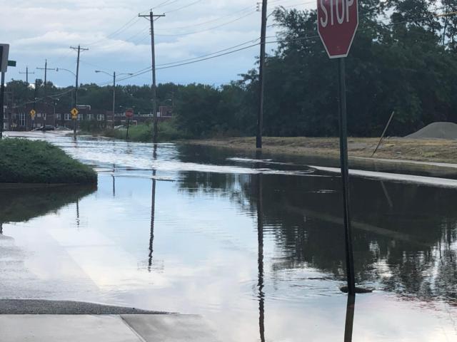
East Alton and Wood River encountered some heavy road flooding at the rush hour period around 5 p.m. with Wood River Avenue and Eaton finding the most water backup, while East Alton had several flooded streets including Washington, Fourth Street and Shamrock.
There were several reports of trees down in Virden, the NWS said.
"There were just lots of storms yesterday," said Melissa Byrd, a meteorologist with the National Weather Service in St. Louis. "It was hit and miss, some areas received more rain than others. This is typical of the summer."


 Dan Brannan also contributed to this story.