 ALTON – What a difference a day makes.
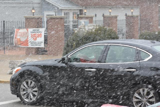
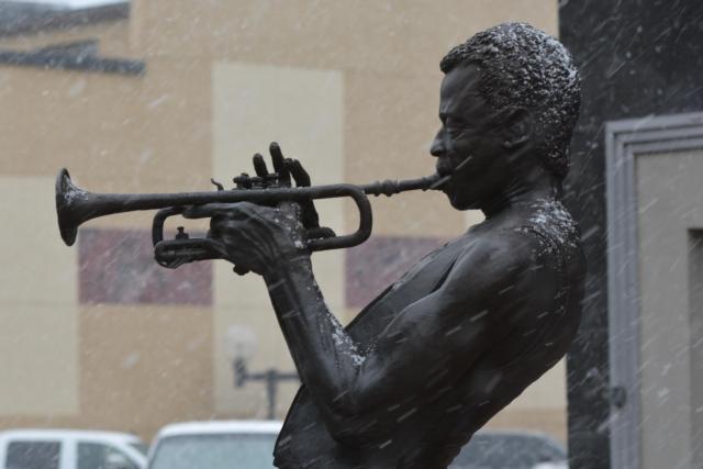
On Tuesday residents around the area were outside with short sleeve shirts. Today, at 1:40 p.m. Wednesday temps were much lower and snow came down in a fast flurry in the Alton area.
Get The Latest News!
Don't miss our top stories and need-to-know news everyday in your inbox.

The National Weather Service in St. Louis said in its forecast an upper level system will pass through the region today, bringing a chance of light snow, mainly to areas north of Interstate 70 in St. Louis.
Snowfall amounts will range from just a dusting to around an inch, with the highest amounts along and north of a Kirksville, MO., to Meredosia, IL., line. The snow will taper off by late this afternoon, the National Weather Service said.
Otherwise, temperatures will range from the upper 20s north to low 50s south. Surface ridge to build in tonight with clouds scattering out. Partly to mostly sunny skies to return to the region on Thursday, but it will be a cold day with highs only in the mid 20s to upper 30s.