


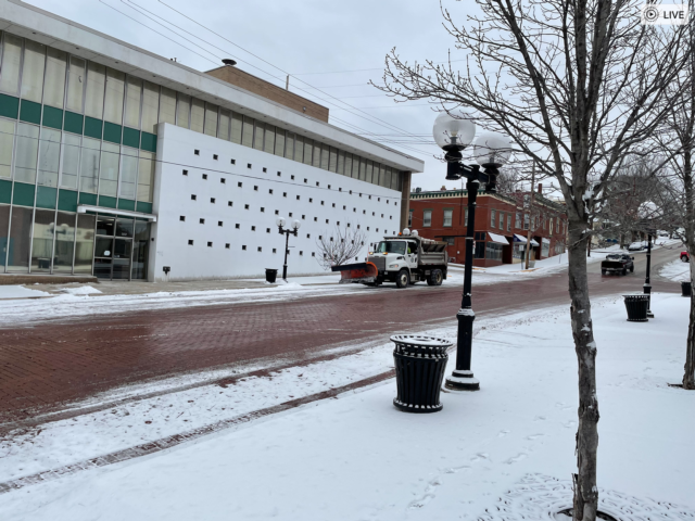
 COLLINSVILLE - Motorists are advised to be careful on the commute home Wednesday afternoon and back to work Thursday morning.
Get The Latest News!
Don't miss our top stories and need-to-know news everyday in your inbox.
The area has encountered a combination of snow/sleet through the day Wednesday and it has created slick issues on the highways and streets.
Snow accumulation is projected to be heavier in some spots, ranging between 1-3 inches.
The National Weather Service in St. Louis says there will be more light snow possible Wednesday night and Thursday, but not heavy snowfall. This weekend, temps are projected to be bitterly cold.
Illinois Department of Transportation Operating Engineer Joe Monroe said it was a busy day for his staff with trucks out at 1:40 a.m. Wednesday. He said for the commute in highway conditions were good with no real problems.
He cautioned motorists to show care driving tonight and in the morning.
“With these cold temps in the low teens overnight and some snow possibly starting at 10 tonight, people need to be aware of the conditions,” he said. “The long range forecast shows a chance of snow every day now except Saturday. It is supposed to be a high of 5 degrees Saturday.” He said an extremely cold day is projected for Sunday, possibly colder than Saturday. He said temps won’t get back into the 20s, according to forecasts, until around Wednesday or Thursday of next week."
 Chris Rhodes also contributed to this story.
More like this: